Day 2: 4 days - 4 summit routes
Ready for a day full of adventure and breathtaking views? The second day of your multi-day hike leads you from Brandenberg via Jocheralm to the imposing Kienberg and finally down to Pinegg.
Day 2: From Brandenberg via Jocheralm to Kienberg and descent to Pinegg --> 6 - 7 h
Your day starts in the picturesque Brandenberg, where you set off towards the district "Winkel." Along the sidewalk, you hike about 3 kilometers until you reach the intersection "Kink/Pumphaus." Here you follow the signs towards Jocheralm/Kienberg/Plessenberg and take the steep asphalt road upwards.
After passing the cattle grid, turn left for about 300 meters on the forest road to the sign "Alter Steig." Here you can choose: you can either hike to Jocheralm on the forest road or take the old path. For a varied experience, we recommend the path, which offers you a new perspective on the surroundings.
From Jocheralm, follow the signs towards "Kienberg/Plessenberg." The brave summit climbers among you take the route over the Heuberg, Heubergsattel and finally to the majestic Plessenberg at 1,743 meters elevation. From here, enjoy a breathtaking view into the Inn Valley, which more than justifies the additional time of about 1 hour and 30 minutes.
For an easier variant, the path leads directly from Jocheralm to Kienberg. This route takes about 3 hours and 30 minutes and still offers spectacular views and unforgettable experiences.
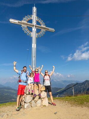
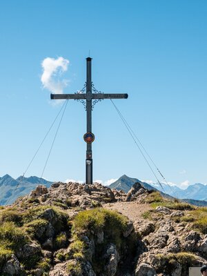
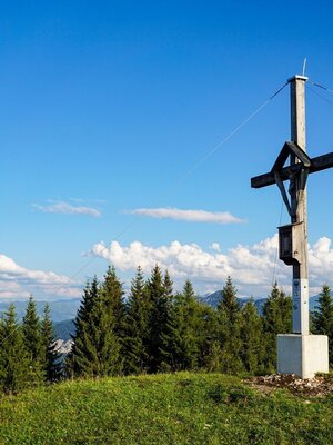
From the summit cross of Kienberg, it is then only downhill. Over the inns and Heubrandalm, you hike to "Prama" and from there descend on a steep path to Pinegg.
With many new impressions and memories in your backpack, you complete the second day of your hike and look forward to the adventures the following day will bring.
Overnight stay:
Details
| Max. Altitude | 1786 |
| Start | Brandenberg |
| End | Brandenberg/Pinegg |
| Public access | A12, Kramsach motorway exit, direction Kramsach, direction Brandenberg |
| Public transport | www.vvt.at |
| Parking | Brandenberg village center |
| Equipment | Sure-footedness is required when descending from Heuberg! Sturdy shoes, weatherproof clothing |


