Inneralpbach - Farmkehralm
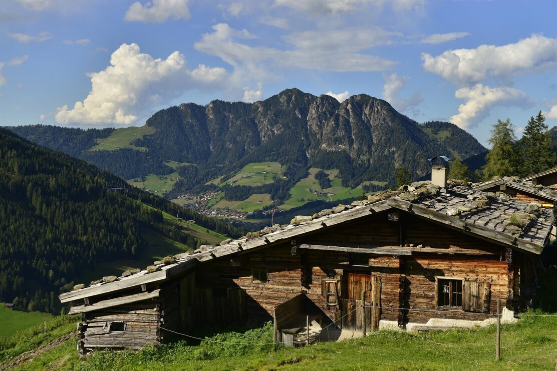
Hike alongside the Greiter stream to the Farmkehralm
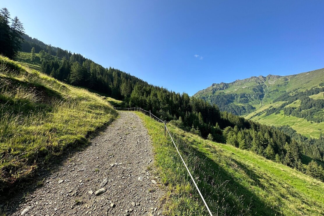
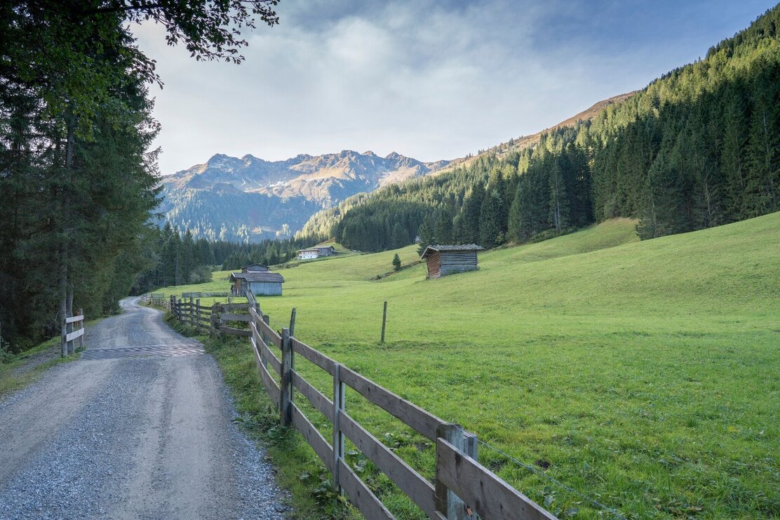
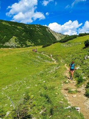
Walk past the hotels and turn right crossing the bridge. Walk along the road leading up the Greiter Valley to the parking lot (the tour can also be started from this point). Continue along the dirt track leading gently uphill to the Greitalm and the Farmkehralm. The track continues uphill over a long drawn left curve to the Farmkehralm.
The walk back can be undertaken along the same route or via the slightly more demanding Jagdsteig that starts above the Farmkehralm and leads to the Stettauer Almen.
Depending on where you started a steep downhill path brings you to the bridge in Inneralpbach and the starting point (car park / bus stop).
Or if you parked at the Gasthof Leitner (closed for business), bear left and follow the steep path leading downhill over a small bridge to the car park.
Details
| Max. Altitude | 1517 |
| Start | Inneralpbach car park, Alpbach |
| End | Inneralpbach car park, Alpbach |
| Public access | A12, motorway exit Kramsach/Brixlegg, Brixlegg, Alpbachtal to Inneralpbach |
| Public transport | www.vvt.at bus no. 620 |
| Parking | Inneralpbach or at the former Gasthof Leitner/Greiter Valley (parking fees apply - cash and cards accepted!). |
| Equipment | Sturdy footwaer and suitable clothing |
