Walking and hiking tours
Difficulty: medium
Radfeld high-level route
Forest and meadow hike with beautiful panorama included
Length
14.27 km
Duration
5:00 h
Altitude
627 hm
627 hm
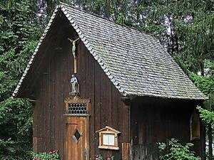
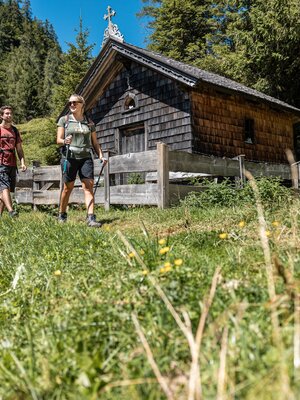
Past the allotment gardens/shooting range of Rattenberg to the forest chapel. Then left to the Wiesel (beautiful forest clearing), further on path B25 to Hauskogel on the backside of the mountain down to Zimmermoos. Then on path B14 (high-level route) to Grafenried. Follow the forest trail downhill. Walkway back to Radfeld or Rattenberg.
Round trip
Family friendly
Start in the valley
Details
| Max. Altitude | 1087 |
| Start | Radfeld |
| End | Radfeld |
| Public access | A12, motorway exit Kramsach/Brixlegg, towards Brixlegg, towards Rattenberg, immediately after the tunnel turn left to the car park |
| Public transport | www.vvt.at REX Rattenberg station or bus 621 |
| Parking | Rattenberg by the cemetery (east side) |
| Equipment | Caution during the transitional season, there is considerable risk of slipping! sturdy shoes, provisions |


Tips for you
Good to know
There's more!


