Winter Hiking
Difficulty: medium
Hygna - Zulehen - Reither Kogel - Hygna
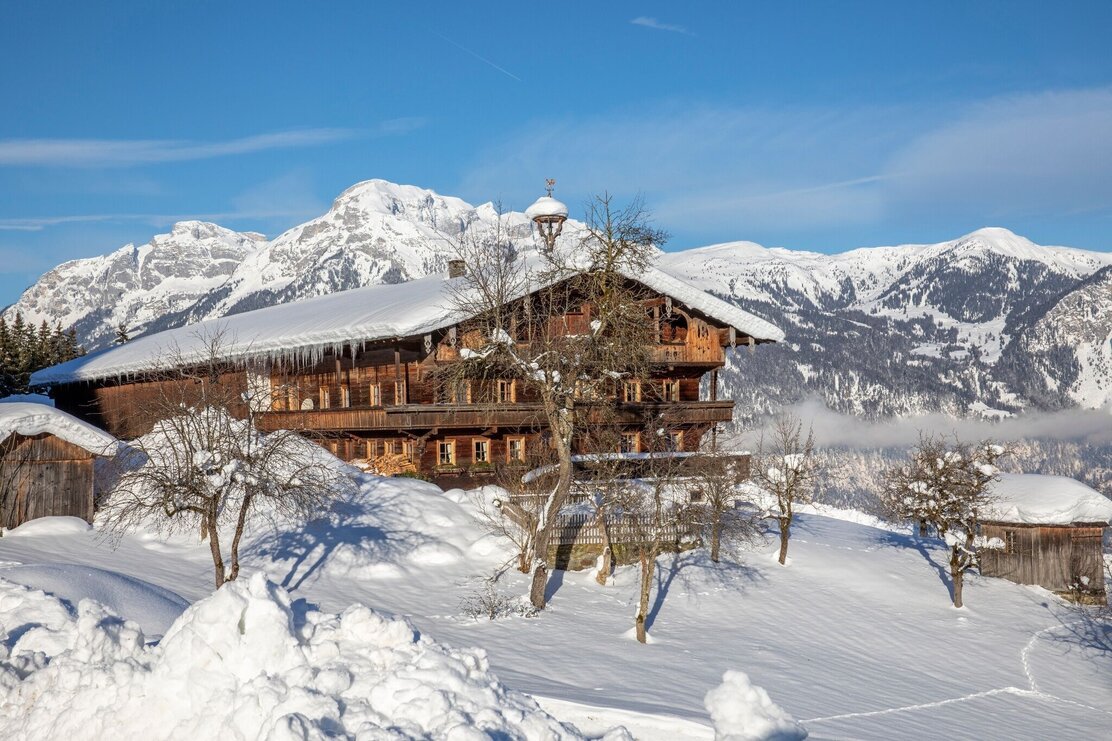
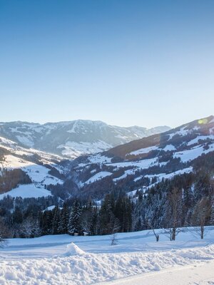
The hike leads past several charming farmhouses and offers many splendid views.
Length
7.5 km
Duration
3:00 h
Altitude
313 hm
313 hm
At the chapel in Hygna take the R18 to the left towards Neader walking uphill to the Zulehen farm (R19) (or a short stretch further on to the Hechenblaiken farm). When taking the circular route turn right at the Zulehen farm onto the R34 - follow the signs for Reither Kogel. On reaching the Reither Kogel take a right turn walking along the tarmacked road back down to Hygna (R14).
Round trip
Start in the valley
Details
| Max. Altitude | 1108 |
| Start | Reith im Alpbachtal, Hygna |
| End | Reith im Alpbachtal, Hygna |
| Public access | A12, motorway exit Kramsach/Brixlegg, towards Brixlegg, Alpbachtal, after Reith im Alpbachtal turn right following the signs for Hygna |
| Public transport | www.vvt.at |
| Parking | Hygna |
| Equipment | sturdy footwear |

Tips for you
Good to know
There's more!
