Roßkopf 1.948 m via Anderl´s Hütte
Hike to the Roßkogel / Rofan Range via Brandenbergs' Alpine pastures
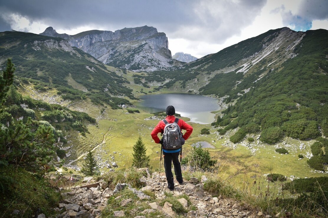
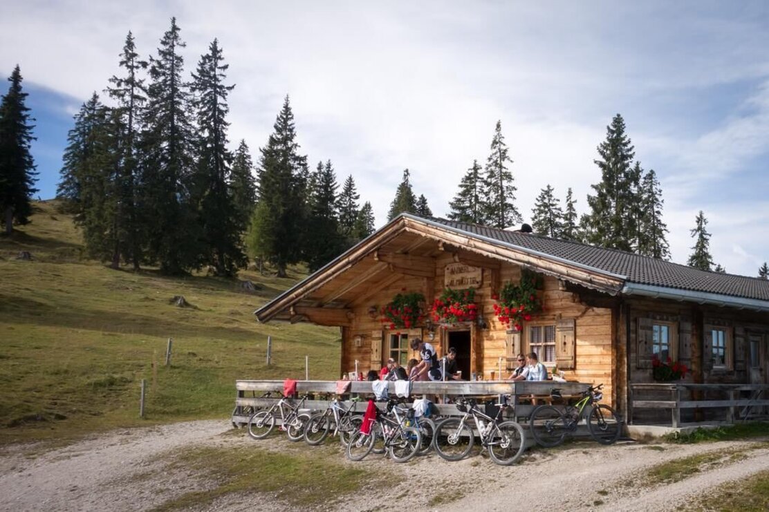
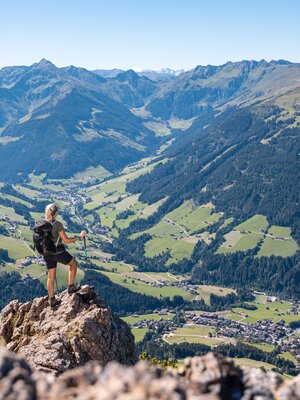
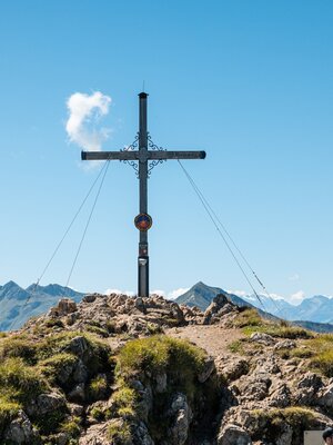
Drive to Aschau and park at the "Wimm" car park. The hiking route leads in part via forest tracks past the Eilalm to "Anderl´s Hütte" and then via Labegg to the Kreuzein Hochleger. You reach the foot of the Roßkogel via a steeper path. At a path junstion with the many yellow signs turn left and via a short uphill hike up to the peak (approx. 3 h). Breath-taking views over the Inn Valley and the surrounding mountain ranges await you. Following a good rest why not make a detour to Lake Zirein. Following the signs take the path leading down to a cross section and continue for approx. 45 min to the lake. To return rake the same route you came (approx. 3h)!
Alternative: a looped trail: from the peak walk in a westerly direction down towards the Berghaus Sonnwendjoch. A steep path leads down to the Hochalm. Walk slightly uphill to the ridge and via the "Hörndl" to the Kreuzeinalm, from where you can already see the path leading uphill. The remaining route leads along the same path back to where you started (approx. 3 h from the Roßkogel).
Details
| Max. Altitude | 1948 |
| Start | Brandenberg/Aschau/Wimm |
| End | BBrandenberg/Aschau/Wimm |
| Public access | A12, motorway exit Kramsach, towards Kramsach, defunct Sonnwendjochbergbahn (chair lift), L4 towards Aschau, through the village, Wimm car park |
| Public transport | not applicable |
| Parking | Wimm car park, Brandenberg/Aschau |
| Equipment | Sure-footedness is required for the trail to the Berghaus Sonnwendjoch. Study footwear and protective clothing |
