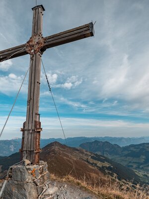
Walking and hiking tours
Difficulty: medium
Anderl´s Almhütte hike
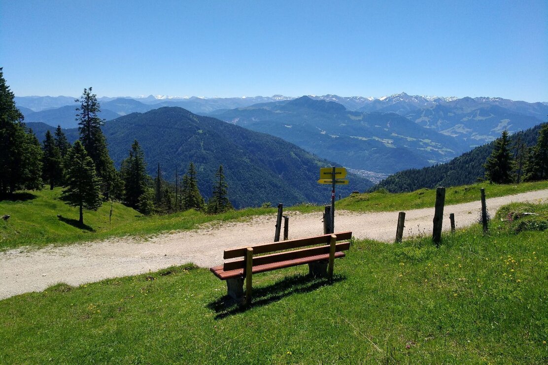
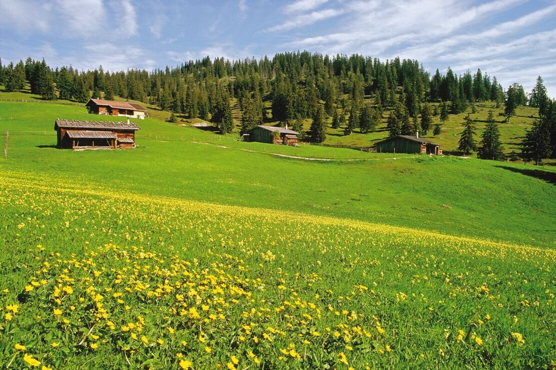
Pleasant circular route offering beautiful views, paths leading through the woods and Alpine pastures and scenic spots to stop for a break.
Length
7.65 km
Duration
2:30 h
Altitude
356 hm
356 hm
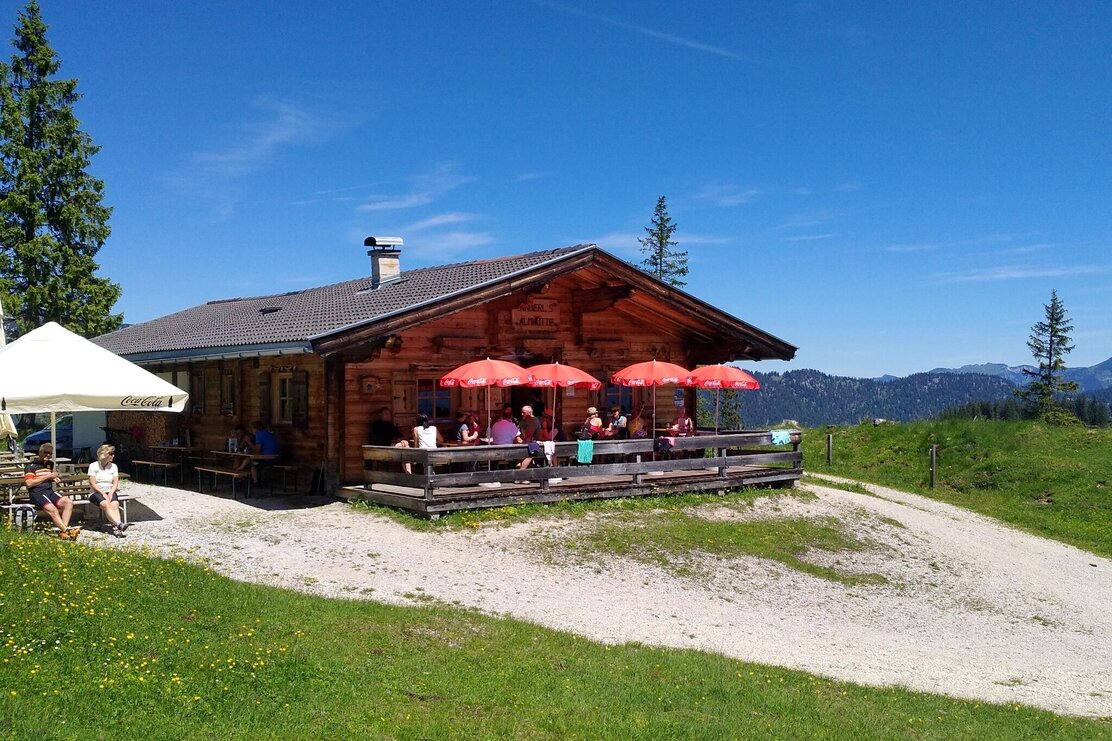
The hike starts from the Wimm farm in Brandenberg (Aschau). The circular route leads via a forest track - approx. 150 elevation gain - gently uphill towards the Wimmer Saddle / Wimmeralm. An impressive panorama of the Guffert in the midst of the Brandenberg Alps awaits you as a reward for the first climb. Shortly after reaching the Wimmeralm the route continues towards the Eilalm. Take the forest track to Anderl´s Almhütte where you can get something to eat and drink.
Total walking time to Anderl´s Almhütte: approx. 1,5 hours.
Walk down back to the car park via the 411 forest track.
Round trip
Rest stop
Start in the valley
Details
| Max. Altitude | 1530 |
| Start | Wimm car park, Brandenberg |
| End | Wimm car park, Brandenberg |
| Public access | A12, motorway exit Kramsach, towards Kramsach, towards Sonnwendjochbergbahn (defunct chairlift), drive past the car park towards Aschau, uphill and to the Wimm farm. |
| Public transport | not applicable |
| Parking | car park after the Wimm farm; parking fees apply (€ 3,00 - as of 2021) |
| Equipment | Sturdy shoes and weatherproof clothing |


Tips for you
Good to know
There's more!


